
onX Offroad: Trail Maps & GPS
onXmaps
Downloads
1,000,000+
Version
Latest
Click to download now, finish the installation quickly, and directly unlock the all-round experience
Screenshots
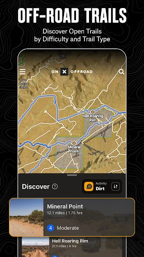
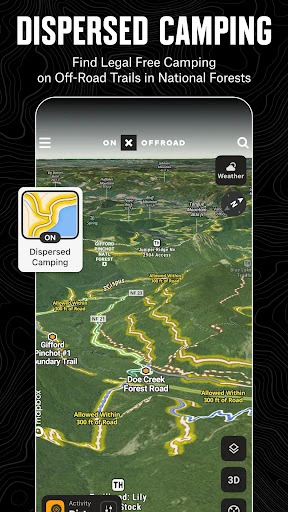
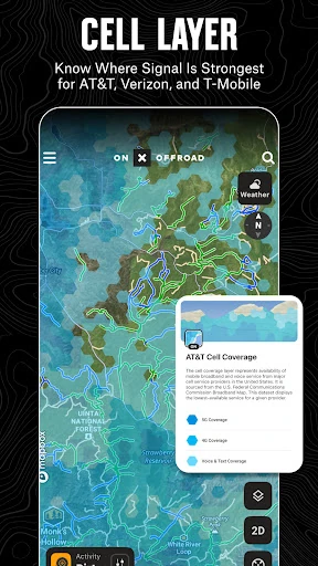
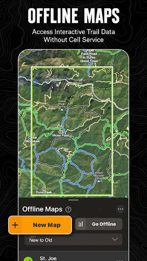
Click to download now, finish the installation quickly, and directly unlock the all-round experience
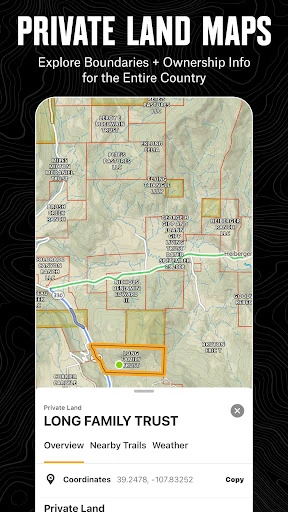
onX Offroad: Trail Maps & GPS is a navigation app for people taking 4x4s, side-by-sides, dirt bikes, or snowmobiles beyond paved roads. Its useful distinction is that it combines motorized trail information with map layers that help you understand what kind of land you are traveling through.
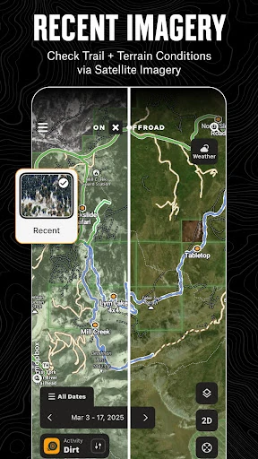
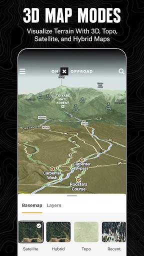
The app puts trail routes, public and private property boundaries, topographic information, and satellite imagery in the same planning view. That makes it more practical than a general map when your route depends on legal access as much as direction. You can also save maps for use where cellular coverage is limited, which suits remote trips.
This is aimed at riders and drivers who regularly plan trips on marked off-road routes, public lands, or forest roads. It is less relevant if you only need ordinary turn-by-turn navigation around town. For backcountry use, the combination of route data and access information is the reason to pay attention.
onXmaps develops the app in the Maps & Navigation category. It has recorded more than 1,000,000 installs and a rating of 3.36 from 5,771 reviews. Those numbers suggest a widely used specialist tool, though the rating is a reason to check whether its coverage and workflow fit the areas and vehicles you use.